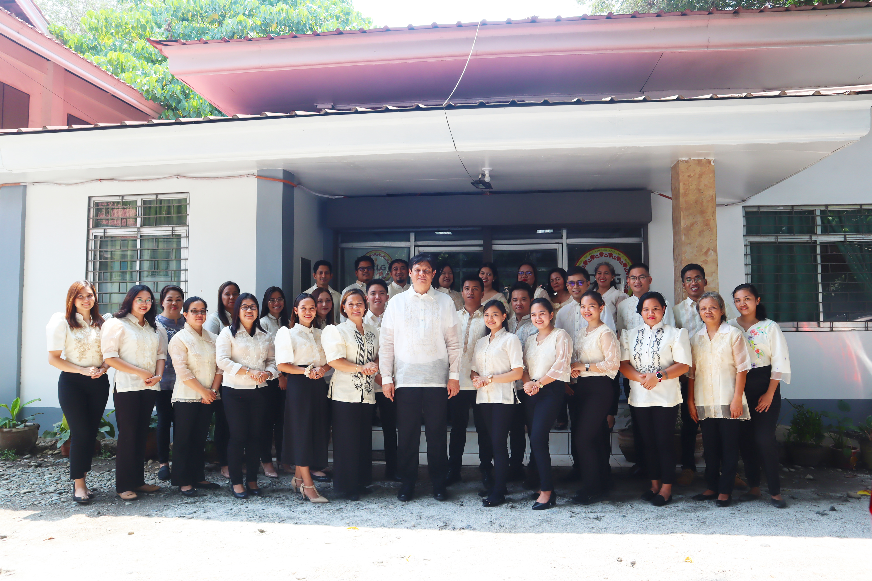
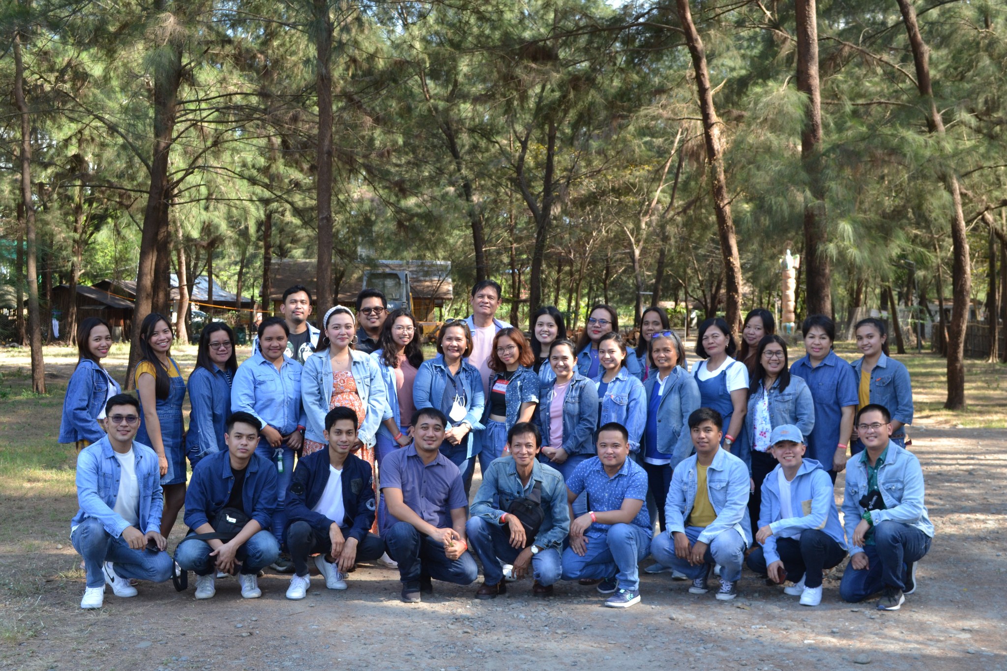
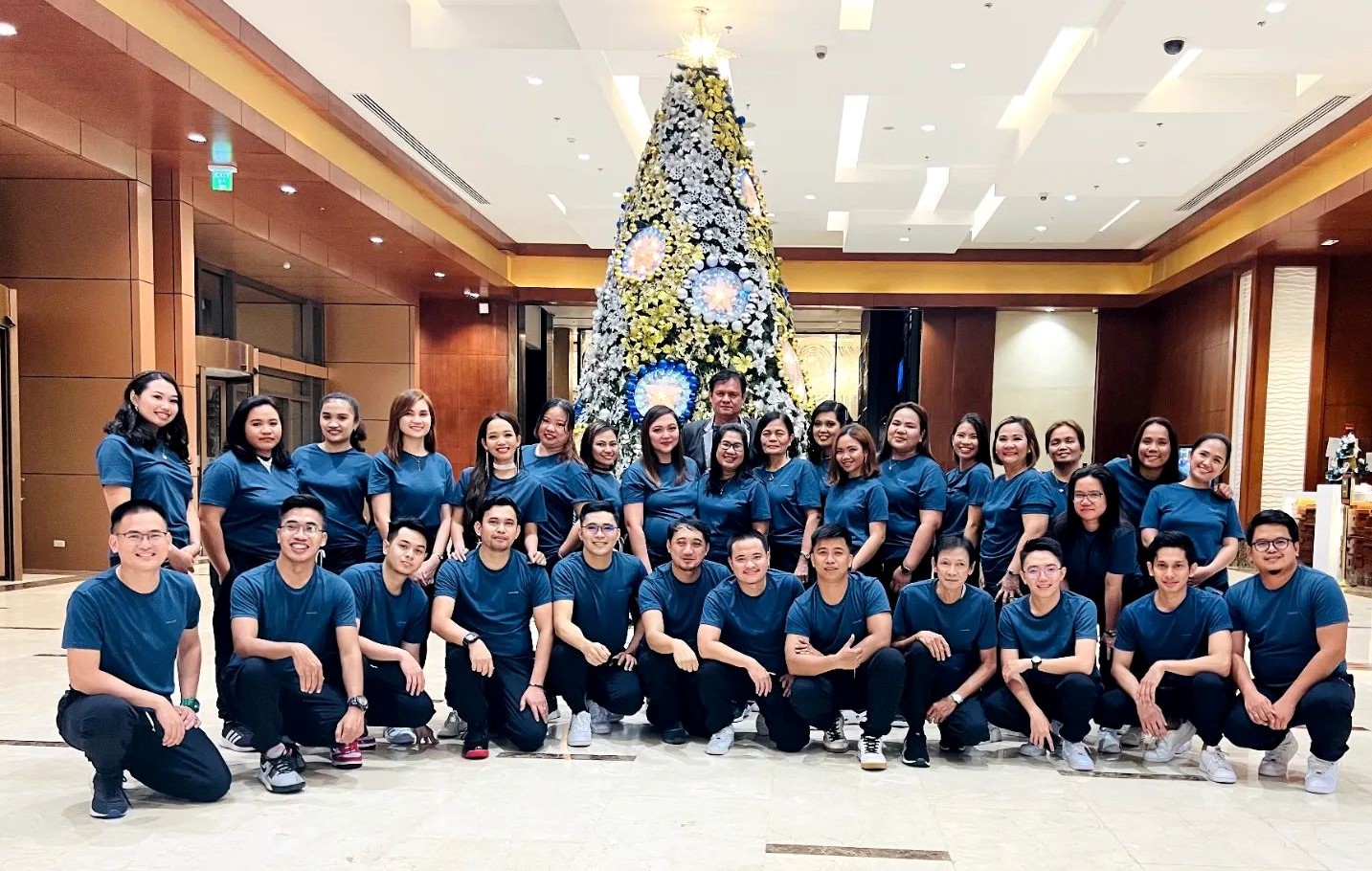
DILG R-3 hosted 48th Batch Induction Training for Luzon Cluster
- Details
- Written by CDD
- Category: Capability Development Program Facility
- Hits: 2070

In line with the continuous efforts in developing LGOOs II and III to enable them to perform their mandated functions efficiently and effectively, the Department of the Interior and Local Government (DILG) Region 3 hosted the conduct of the 48th Batch Induction Training for LGOOs II Luzon Cluster: Component II – Phase I (Center Training). The training was held at the Local Government Academy Training Center (LGATC), Los Baños, Laguna on August 27 - October 18, 2013.
Read more: DILG R-3 hosted 48th Batch Induction Training for Luzon Cluster

