- Details
- Written by MED
- Category: Capability Development Program Facility
- Hits: 3355
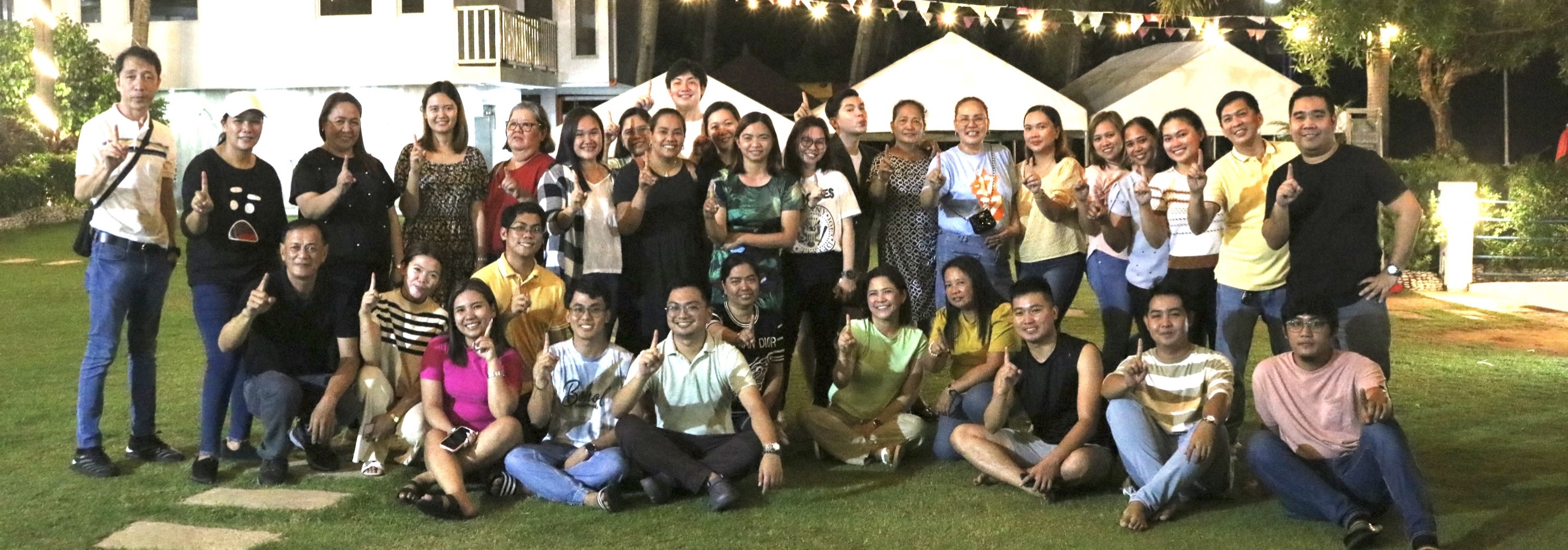
 To increase the level of awareness of LGUs on the utility value and application of multi-hazard maps in the mitigation and management of natural disasters, the Department of the Interior and Local Government Region 3 in coordination with, DENR-MGB3, OCD3, DOST-PAGASA and DOST-Project NOAH, is presently conducting a one-day training for LGUs on the Understanding of Multi-Hazard Maps, their Usage and Application in Local Development Planning.


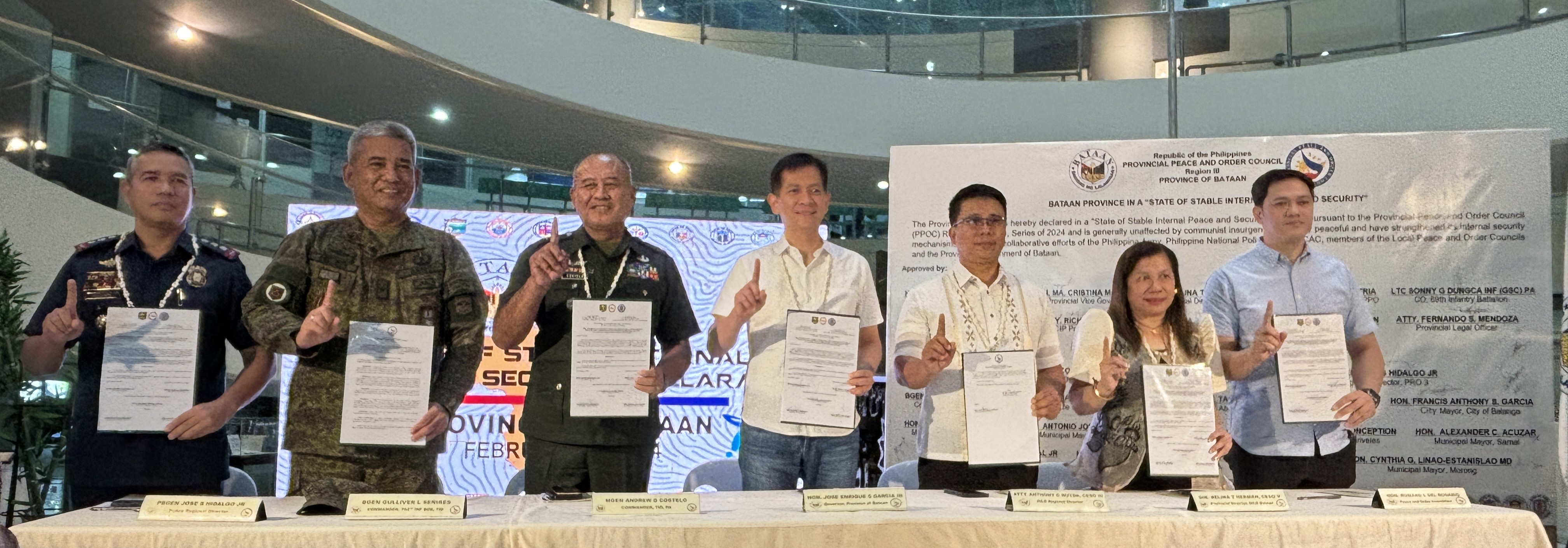
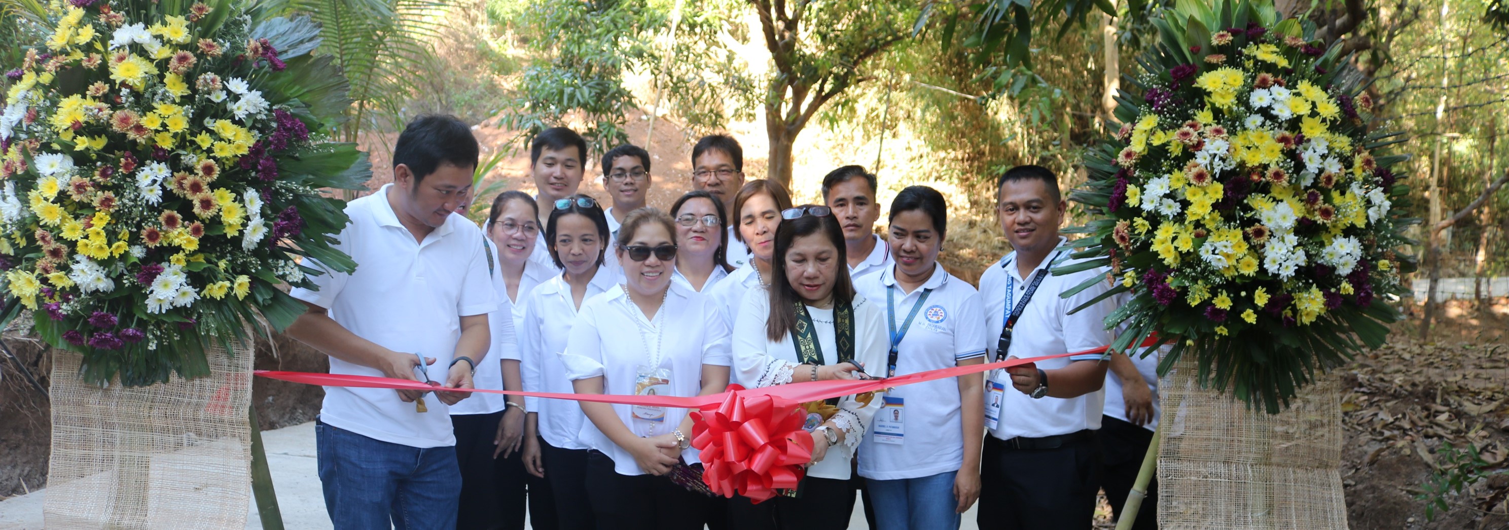




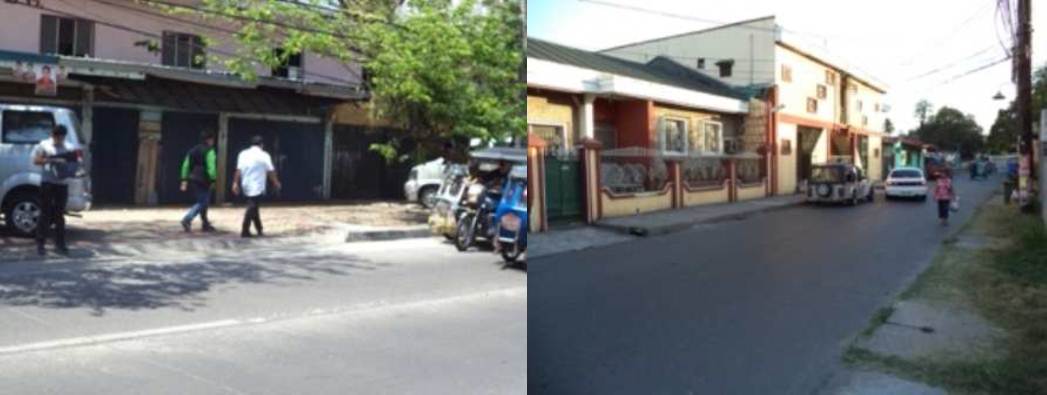 The Department of the Interior and Local Government – Office of Project Development Services (OPDS) in close coordination with DILG R-3 initiated the conduct of the Special Local Roads Fund (SLRF) project monitoring and validation last May 2, 3, 6, and 7, 2013 in various Provinces and Cities of this region.


