The Department of the Interior and Local Government- Zambales in coordination with the Provincial Government of Zambales facilitated the conduct of the “Follow-Through Activity on Local Road Mapping and Completion of Local Road Network Development Plan (LRNDP)” on October 9-13, 2017 at Vista Marina Hotel, SBFZ to ensure the completeness of the road database with a digitized road network map of the whole province.
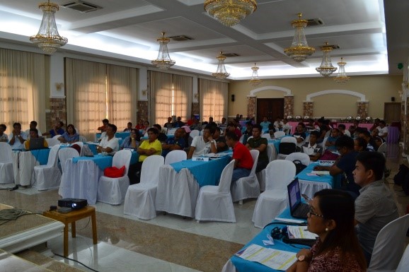
The activity attended by the Municipal Planning and Development Coordinator, Municipal Engineer, Municipal Assessor, GIS personnel and, technical staff from the thirteen (13) municipalities of Zambales is in line with the new economic agenda of the national government and will serve as basis in identifying the future local road projects of the LGUs.
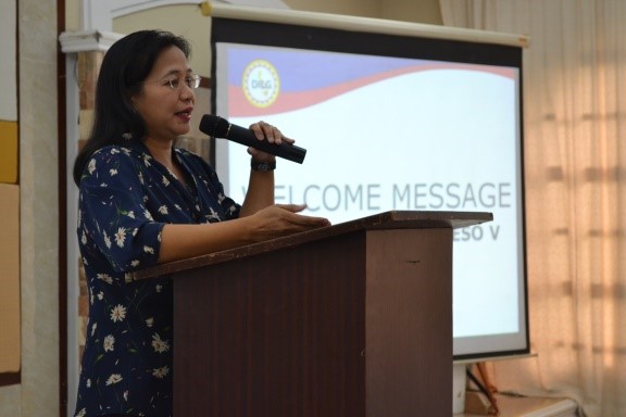
DILG Provincial Director Armi V. Bactad, CESO V in her message emphasized that the output of the activity is in preparation for the future projects of the provincial and municipal governments and to meet with the target of the national government to have all road network paved by the year 2022. “Ito ay para siguradong maramdaman at makita ng bawat mamamayan na ang Pilipinas ay umaasenso”, said PD Bactad.
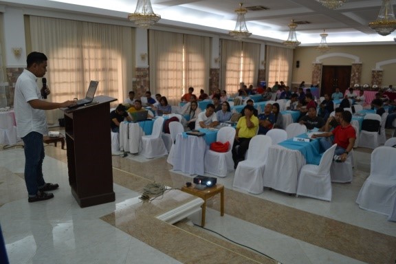
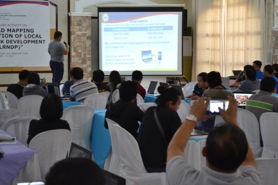
Representatives from the DILG Central Office - OPDS provided technical assistance and gave comprehensive discussions on GPS, GIS, QGIS and the actual mapping of road network. The participants are expected to accomplish their digitized road network map by October 29, 2017 to complete the Provincial Road Network Development Plan of Zambales.